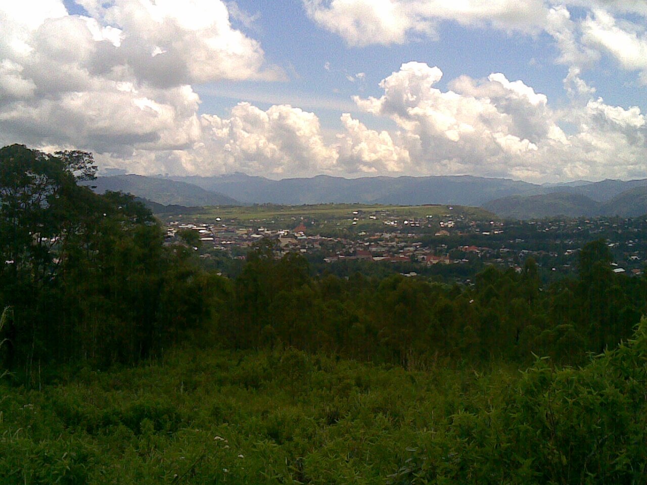
RUTENGA shallow tectonic earthquake of magnitude 5.8 jolted Manggarai Regency and surrounding districts in Indonesia's East Nusa Tenggara (NTT) province on Wednesday (Nov 18, 2026) at 11:41:32 WIB, or 12:41:32 local central time. The Meteorology, Climatology, and Geophysics Agency (BMKG) swiftly confirmed that the offshore rupture poses no tsunami threat.
According to BMKG's updated seismic parameters, the epicenter was located at sea at 8.17 degrees south latitude and 120.54 degrees east longitude. That position lies approximately 49 kilometers northeast of Ruteng, the administrative hub of Manggarai Regency, at a shallow focal depth of 10 kilometers.
Shaking Intensity Across Manggarai and Ngada
The strongest ground motion registered across Manggarai Regency at an intensity of IV to V on the Modified Mercalli Intensity (MMI) scale. At that threshold, daytime tremors are felt indoors and outdoors by large numbers of residents and cause hanging items and household objects to shake.
Lighter vibrations reached neighboring Ngada Regency at II to III MMI, felt noticeably inside buildings like a heavy truck passing nearby. By early Wednesday afternoon, local authorities had received no confirmed reports of fatalities, injuries, or structural building damage.

Flores Back-arc Thrust Context and Vigilance
BMKG Earthquake and Tsunami Director Wijayanto confirmed that the tremor belongs to an active Flores seismic sequence driven by tectonic movement along the Flores Back-arc Thrust fault zone. Because the rupture occurred in shallow crustal rock just 10 kilometers below the surface, shaking felt pronounced across western Flores despite its moderate magnitude.
Seismic vigilance along northern Flores has remained elevated since August 15, 2026, when a major magnitude 7.7 earthquake at a depth of 15 kilometers struck at 8.41 degrees south and 121.39 degrees east, about 30 kilometers northeast of Mbay in Nagekeo Regency. That earlier event generated coastal tsunami waves and prompted BMKG multi-scenario modeling spanning Alert (0.5 to 3 meters) and Advisory (below 0.5 meters) tiers, underscoring BMKG's call for residents to stay calm and follow verified updates on potential aftershocks.